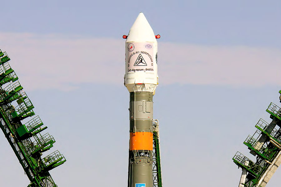
On 22 July 2012, at 9:41 a.m. Minsk time, the Soyuz-FG rocket launched the first Belarusian spacecraft (BS), an Earth remote sensing satellite, from the Baikonur Cosmodrome.
The BS was put into orbit by a single launch vehicle together with the Russian spacecraft Canopus-V No. 1, which made it possible for the first time to create an orbital spacecraft constellation that provides high-resolution (2.1 meters) remote sensing data to solve a set of objectives for the socio-economic development of Belarus and Russia.
The Belarusian spacecraft and the Belarusian space system of remote sensing of the Earth based on it is currently operating steadily. In terms of its functional purpose, this system provides space data to more than 20 organizations of 11 state bodies in Belarus, as well as a number of foreign contracts for the supply of space images and technologies for their processing.
Space data from the BS is used to solve the problems of national security, to monitor, prevent and eliminate consequences of emergencies, to design, reconstruct and build roads, to update the land information system, to maintain the state land cadastre, to delimitate and demarcate of the state border, as well as in law enforcement, environmental protection and other socio-economic spheres of Belarus.Because of highly professional work of specialists from the National Academy of Sciences of Belarus and Russian satellite manufacturer VNIIEM on the operation and technical condition of the BS, its service life in orbit has been extended by presidential decree until 2021 inclusive. Taking into account the fact that the guaranteed lifetime of Earth remote sensing satellites like the BS is generally 5 years, the functioning of the BS in orbit until the end of 2021 (the operational duration will be 9.5 years) is equivalent to the creation and operation of another similar satellite.
The revenue from the implementation of the satellite’s results exceeds the amount of funds invested in its creation, which indicates the economic efficiency of the project. The Belarusian satellite profits more than 18 million dollars for 7 years, having shot more than 300 million square kilometers of territories. The satellite provided multiple coverage of the territory of our country and border areas with a spatial resolution of 2.1 meters at the request of users in different spheres. Today, the BS is a part of the orbital constellation of remote sensing of the Earth, along with similar Russian devices.